Numéro de carte Sphaera : 10674
FIDJI (PARTIES) - - OCÉANOGRAPHIE - GÉOLOGIE SOUS-MARINE. 1:500000. 1992
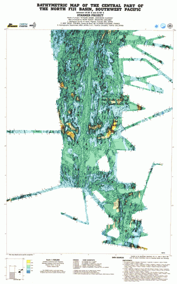
Bathymetric map of the central part of the north Fiji Basin, Southwest Pacific : between 14°20' S and 21°50' S : Starmer poject / compiled by the Hydrographic department, MSA. - [S.l.] (JPN) : Hydrographic department, MSA ; Paris (FRA) : ORSTOM, Institut français de recherche scientifique pour le développement en coopération, 1992. - 1:500000 ; Lambert's conformal conic projection (E 172° - E 175° / S 20° - S 21°50’ 00’’). - carte en coul. ; 109 x 77 cm
|
Télécharger l'image en haute résolution ( format PDF )

Accéder aux données géoréférencées
|